CARTOPOINTS
Boundary Surveying and Land Subdivision Planning
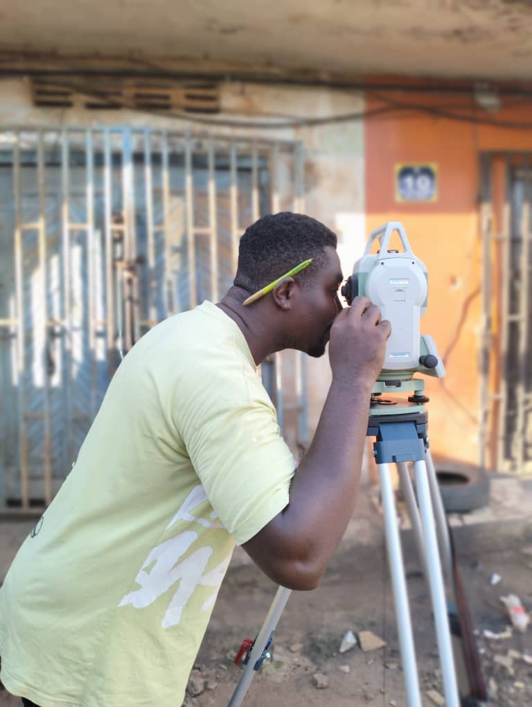
We accurately determine and mark the legal boundaries of a property, helping clients avoid disputes and comply with land ownership regulations. We also assist in dividing land into plots for development or sale, complete with regulatory-compliant layouts and documentation.
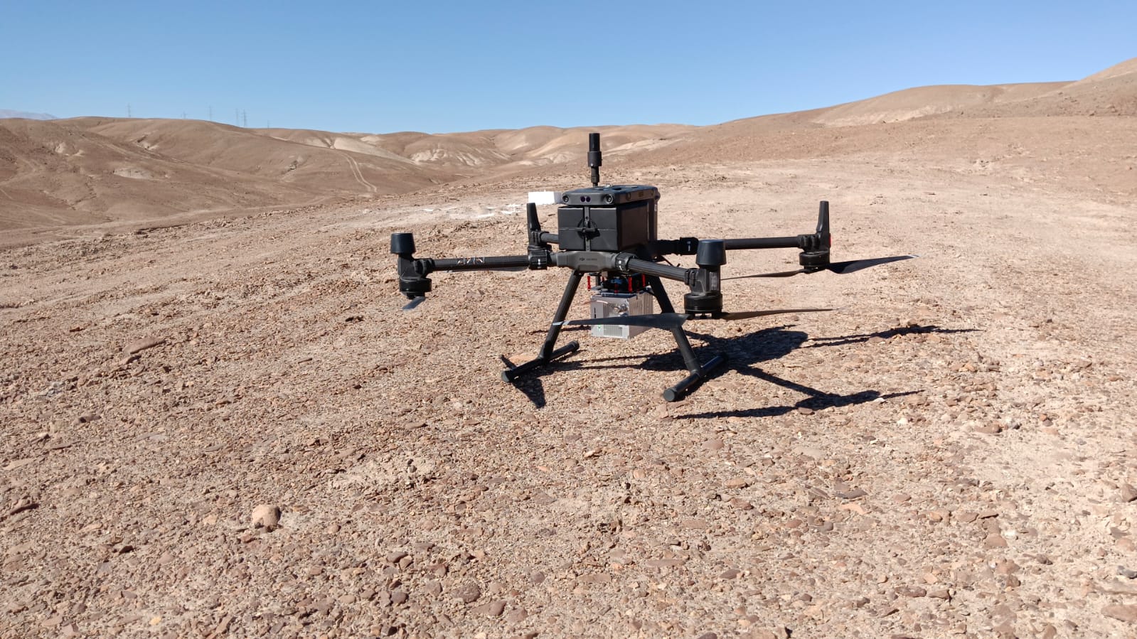
Orthophoto & UAV Mapping
Using drones and photogrammetry, we produce georeferenced orthophotos, 3D models, and digital terrain maps. This provides a fast, safe, and detailed overview of any site — ideal for construction, environmental impact assessments, and site progress documentation.
📡 GIS Integration & Mapping
We provide custom GIS solutions to organize, analyze, and present spatial data in interactive and functional formats. From cadastral systems to utility infrastructure mapping, we tailor GIS tools that bring clarity to complex land and asset data.
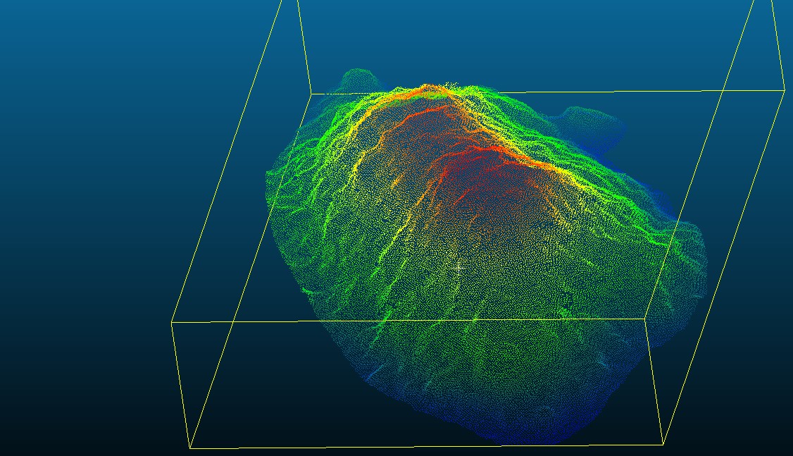
🌐 LiDAR Surveying
LiDAR (Light Detection and Ranging) technology enables us to produce high-resolution 3D models of terrain and structures with unmatched accuracy. From vegetation mapping to flood risk analysis and infrastructure planning, our LiDAR services provide precise elevation data critical for both design and environmental monitoring.
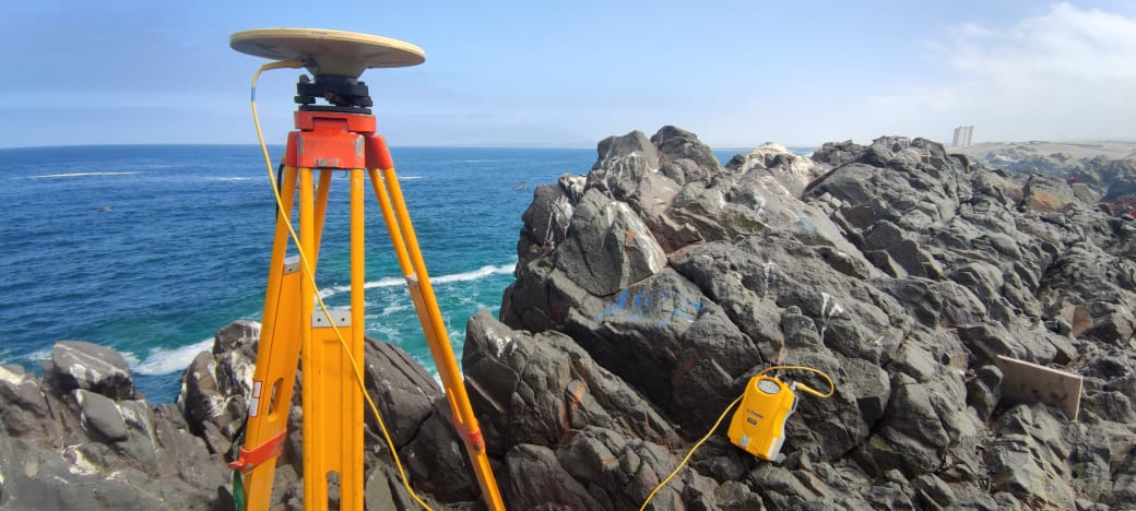
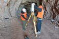
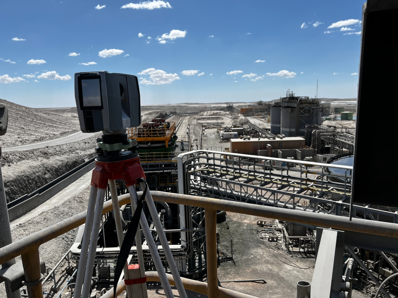
🧭 Deformation Monitoring
We offer precise deformation and structural movement monitoring to detect shifts in terrain, infrastructure, or natural features over time. Using high-accuracy instruments such as total stations, GNSS, InSAR, and automated sensor systems, we track minute changes to ensure structural integrity and safety. Our deformation monitoring services are essential for dams, bridges, tunnels, slopes, buildings, and mining sites — helping clients prevent failure, reduce risks, and comply with engineering standards.
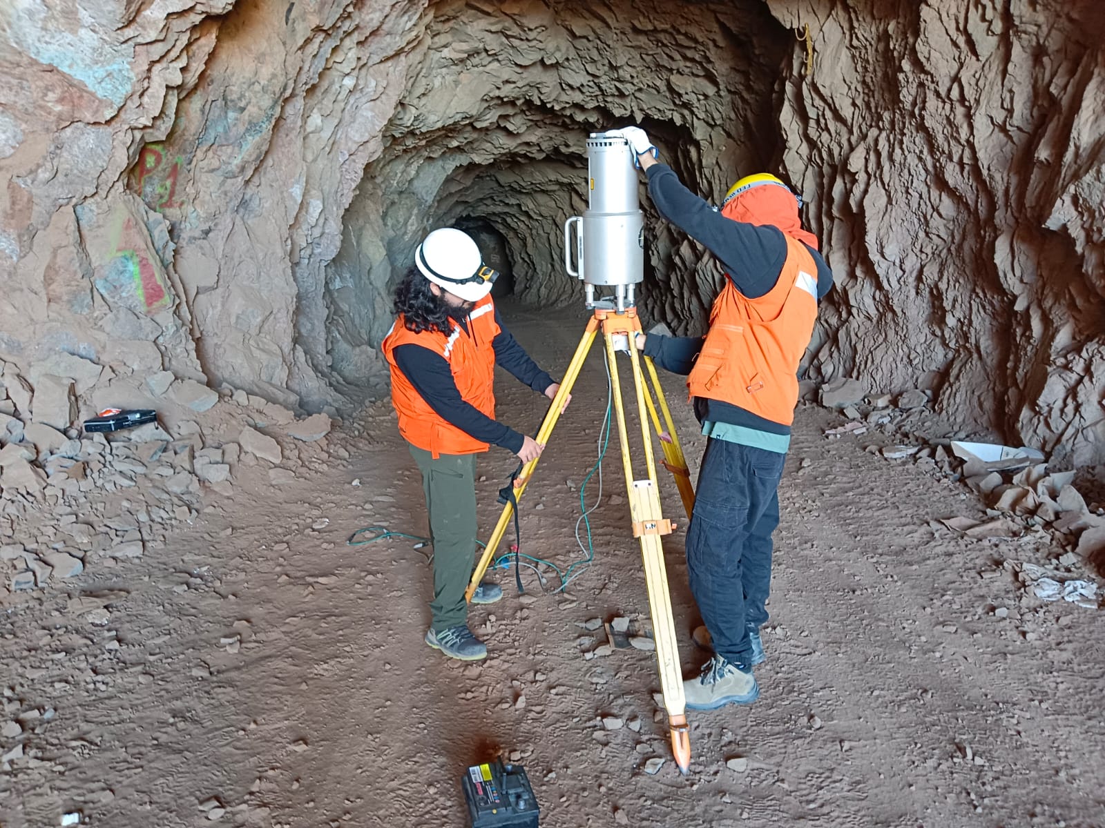
⛏️ Mining Surveying
We provide specialized surveying services tailored to the needs of the mining industry — from exploration to site development. Our team delivers precise volume calculations, pit design support, boundary demarcation, and topographic mapping for open-pit and underground operations. With the integration of GPS, LiDAR, and GIS technologies, we help mining companies maximize efficiency, ensure regulatory compliance, and maintain operational safety.