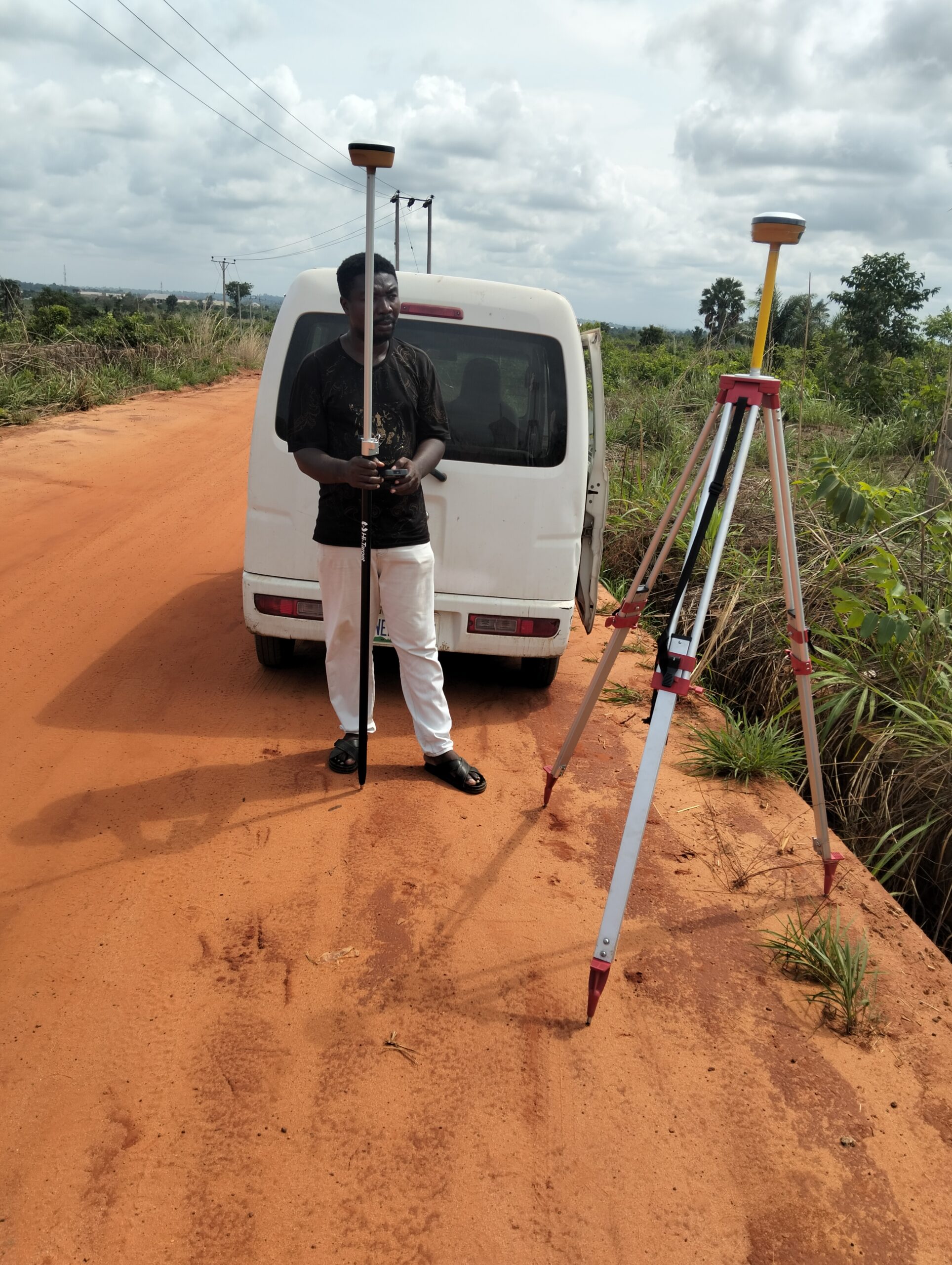
Boundary Surveying and Land Subdivision Planning
We accurately determine and mark the legal boundaries of a property, helping clients avoid disputes and comply with land ownership regulations. We also assist in dividing land into plots for development or sale, complete with regulatory-compliant layouts and documentation.
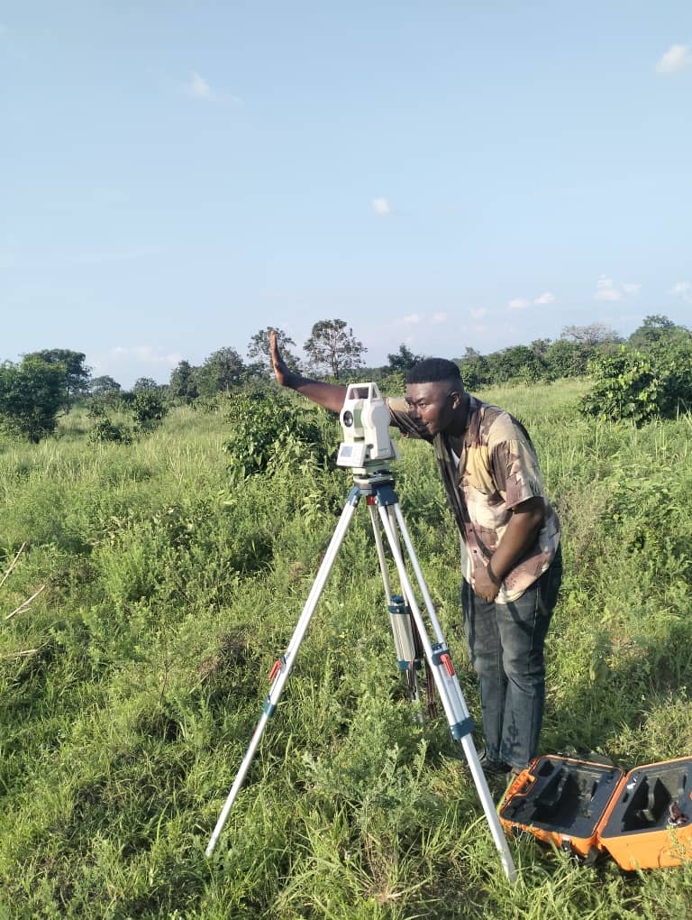
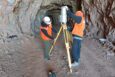
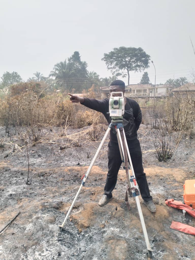
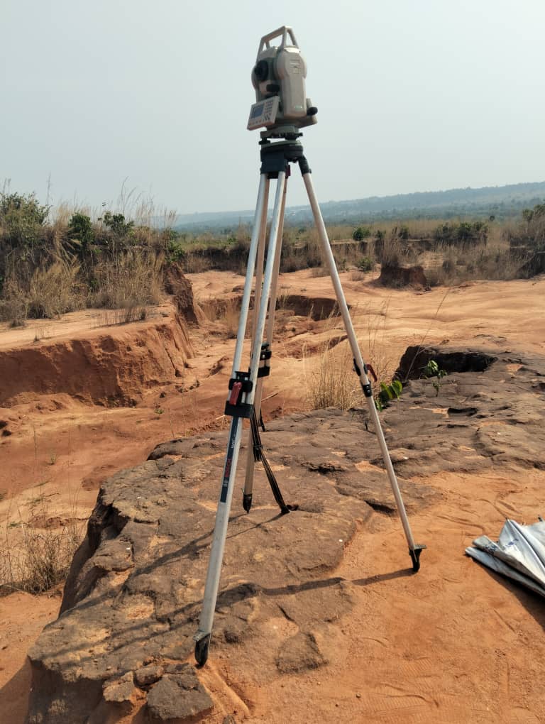
Topographic Surveying
Detailed mapping of land features, elevations, and contours to support engineering designs, site planning, and construction projects.
Construction Staking / Setting Out
Precise layout of roads, buildings, and infrastructure on-site, ensuring that construction aligns exactly with design plans.

Survey Consultancy Services
Our experienced team offers professional advice and strategic recommendations to help you understand survey data and make informed decisions for your projects.
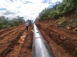
Route & Alignment Surveys
Surveys for roads, pipelines, power lines, and railways to determine the most practical and efficient alignments.
Environmental Safety and monitoring.
We provide detailed assessments and monitoring to detect land movement, erosion risks, and subsidence, helping you protect your projects and comply with environmental regulations.
We Follow Best Practices
At Cartopoints Associates LTD, our work is grounded in industry-leading standards and proven methodologies. We adhere strictly to national and international surveying regulations to ensure every project is accurate, legal, and reliable.
Our team stays updated with the latest technology and techniques, combining expert knowledge with modern equipment to deliver precise results every time.
🛠️ Certified Instruments
Using calibrated tools aligned with industry benchmarks for accurate results.
📄 Regulatory Compliance
Strict adherence to local and international surveying codes and guidelines.
✔️ Client Satisfaction
Prioritizing accuracy, safety, and your satisfaction on every job.
💬 Clear Communication
Maintaining transparency and detailed reporting throughout the project.
At Cartopoints Associates LTD, we believe that every successful development begins with precise data and responsible planning. For years, we have played a vital role in shaping communities across Nigeria — not just by providing surveying services, but by laying the groundwork for progress.
From urban infrastructure to rural land development, our work has helped build roads, schools, housing estates, bridges, and public utilities that directly impact the lives of millions. We partner with engineers, developers, government bodies, and private clients to deliver surveys that guide smarter, safer, and more sustainable projects.
OFFICE 1: NO 10 IBETO WAY OKPUNO EBENATO URUAGU NNEWI, ANAMBRA STATE, NIGERIA.
OFF EKESON PARK.
OFFICE 2: Sitio 98 MZ D Altos la Portada Antofgasta, Chile,
OFFICE 3: 118 E 62nd st, Tacoma, WA 98404 US.

🏗️ From a Civil Engineer:
Alice Howard
“Working with Cartopoints Associates LTD has streamlined our infrastructure projects. Their accurate topographic and boundary surveys have saved us time and reduced costly site errors. A dependable surveying partner.”

🏢 From a Real Estate Developer:
Ema Romero
“Their team understands the importance of precise land data in property development. Cartopoints delivers detailed reports and maps that help us make informed investment decisions. Truly professional service.”

🛢️ From a Mining Project Manager:
Ann Smith
“We’ve relied on Cartopoints for mine site planning and volume calculations. Their use of modern geospatial tools like LiDAR and UAV mapping has improved our operational efficiency. Highly recommended.”
Request a Quote
Ready to Work Together? Build a project with us!